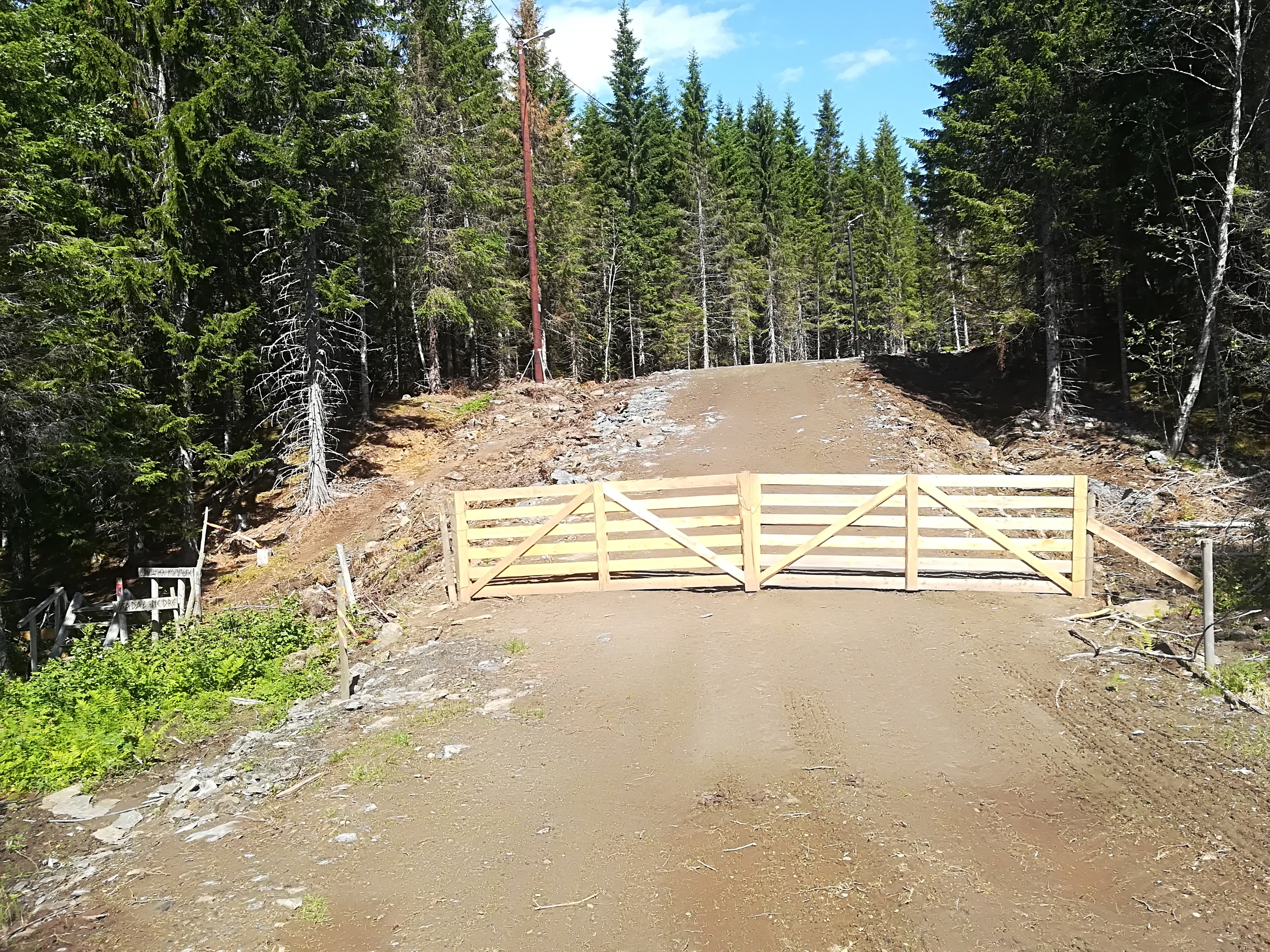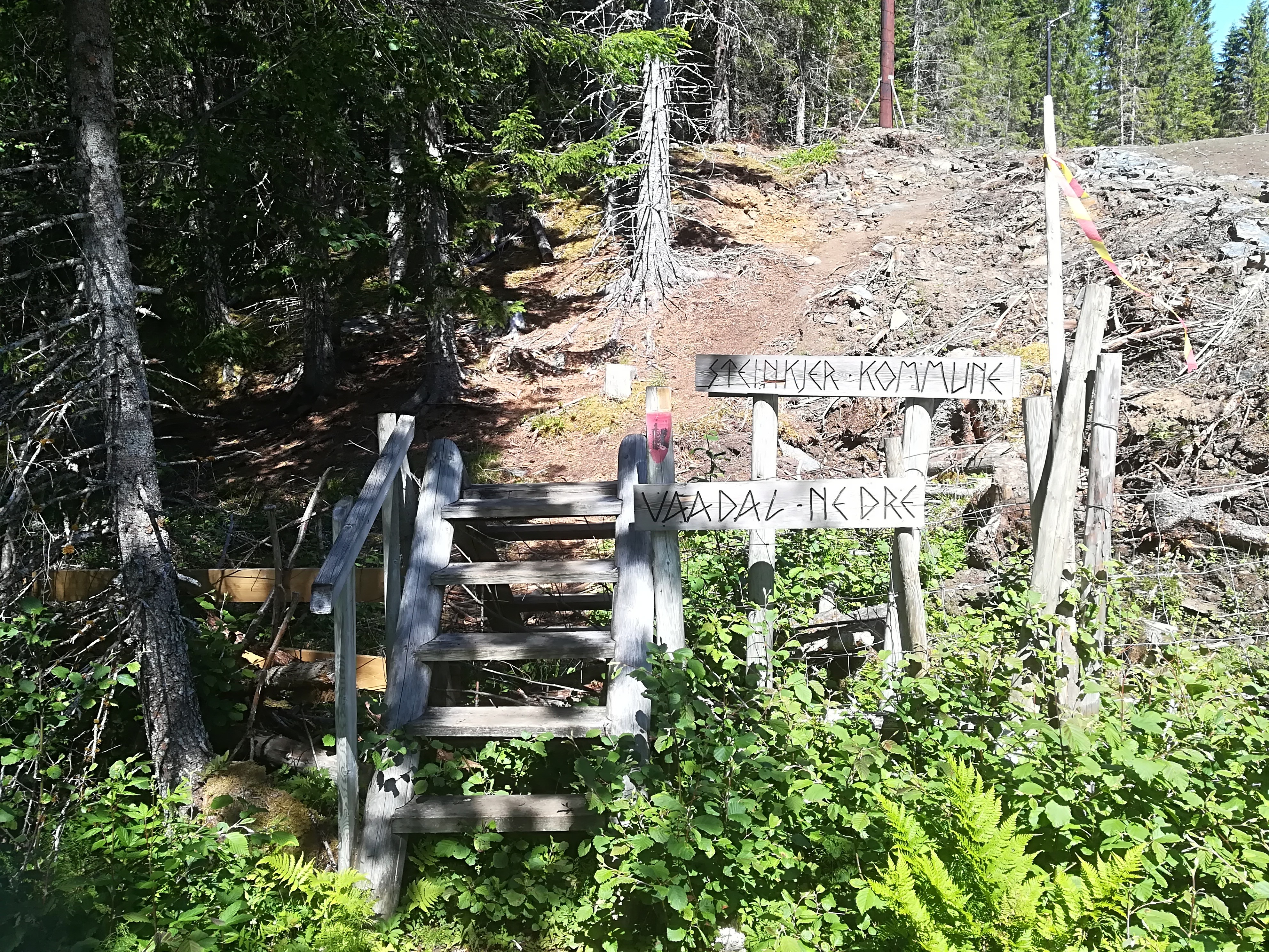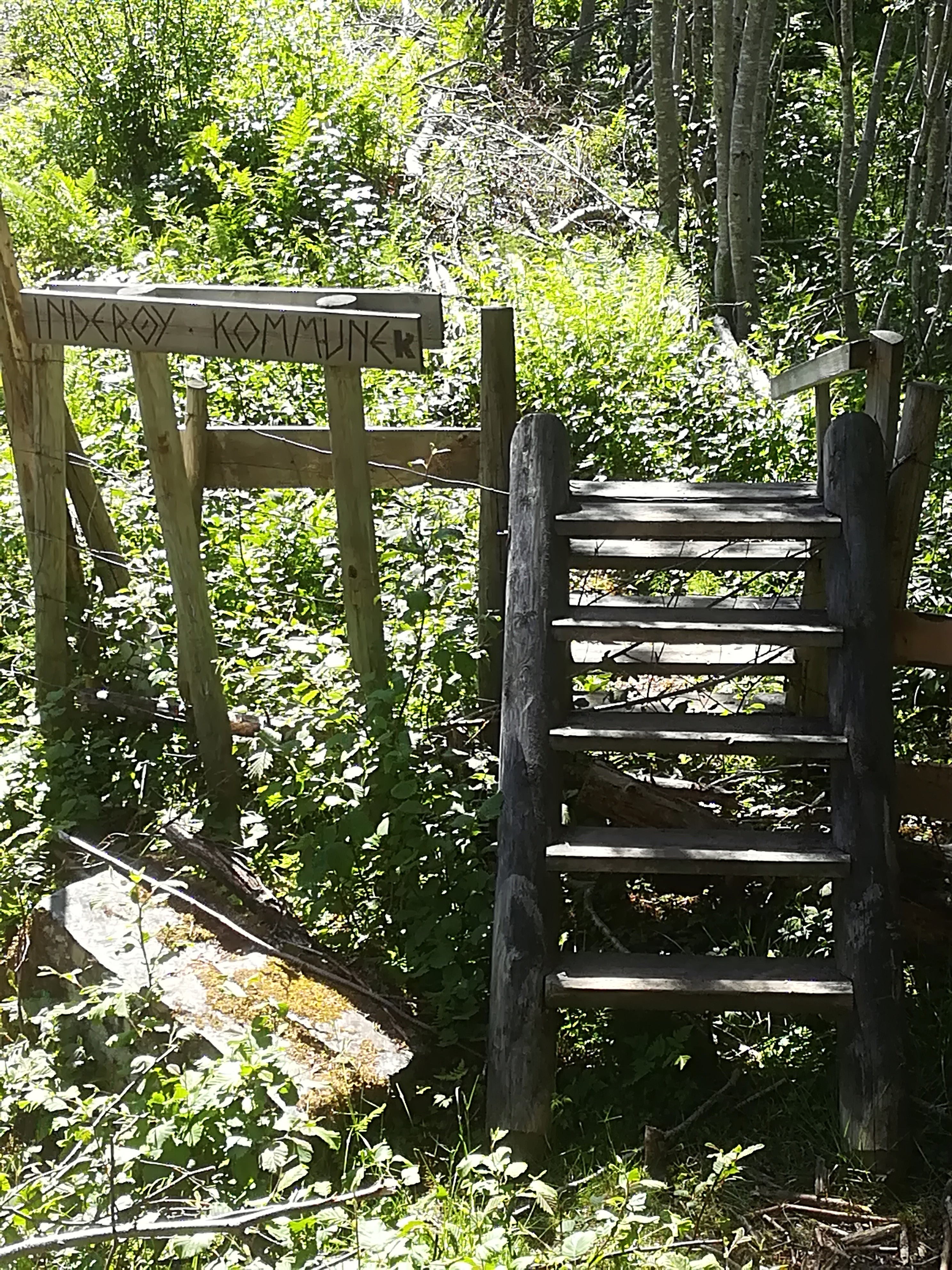
Today, we crossed the border between Inderøy and Steinkjer six times, twice driving and four times walking. We live in Inderøy municipality (population 6 800, area 366 square kilometers), part of Trøndelag county, in central Norway. Steinkjer municipality (population 22 000, area 1 565 square kilometers) is the capital of Trøndelag county, contains the geographical centre of Norway, and is located immediately to the north of Inderøy, except when it isn’t because the border is complex and follows boundaries between many different farms.
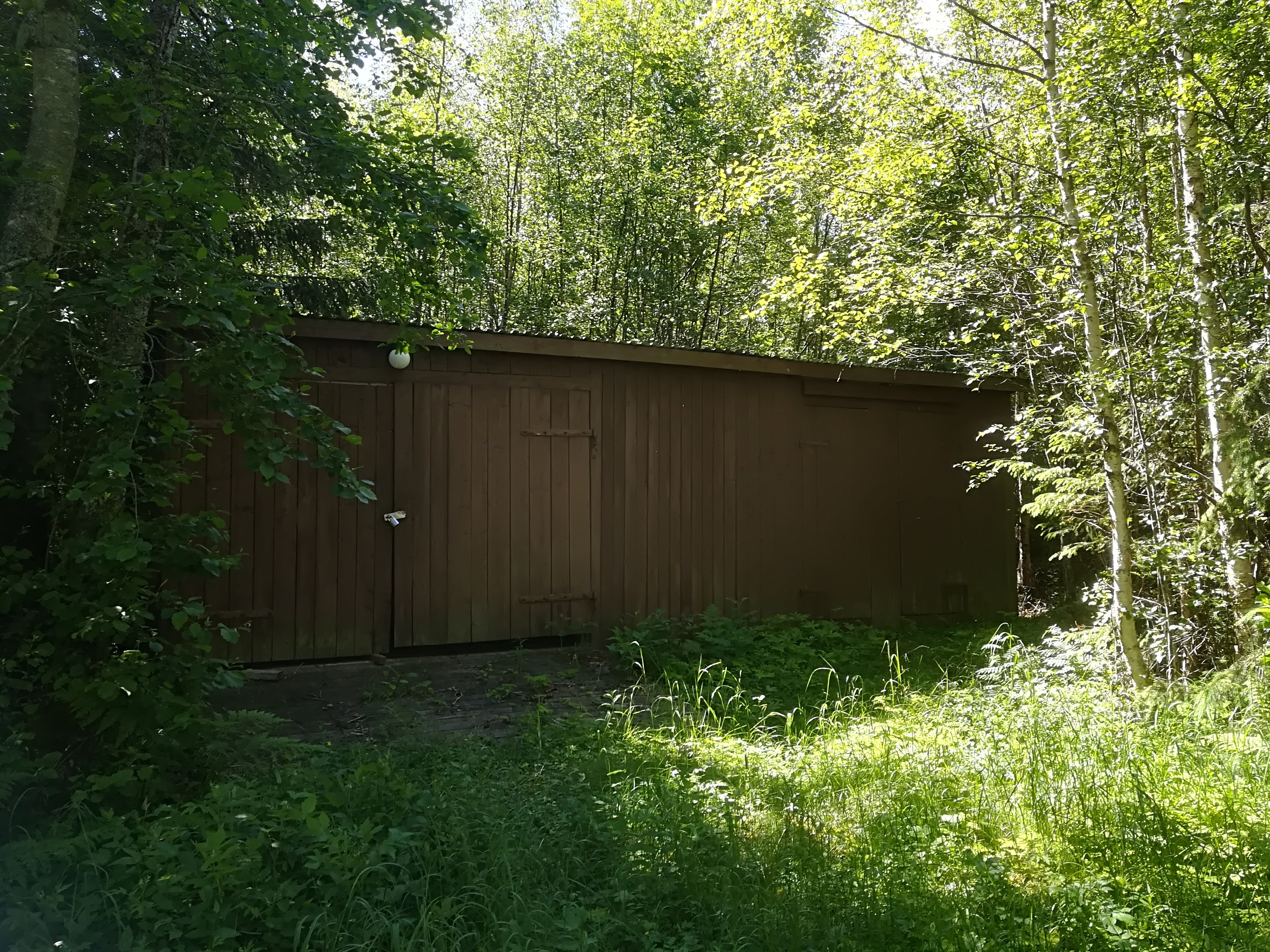
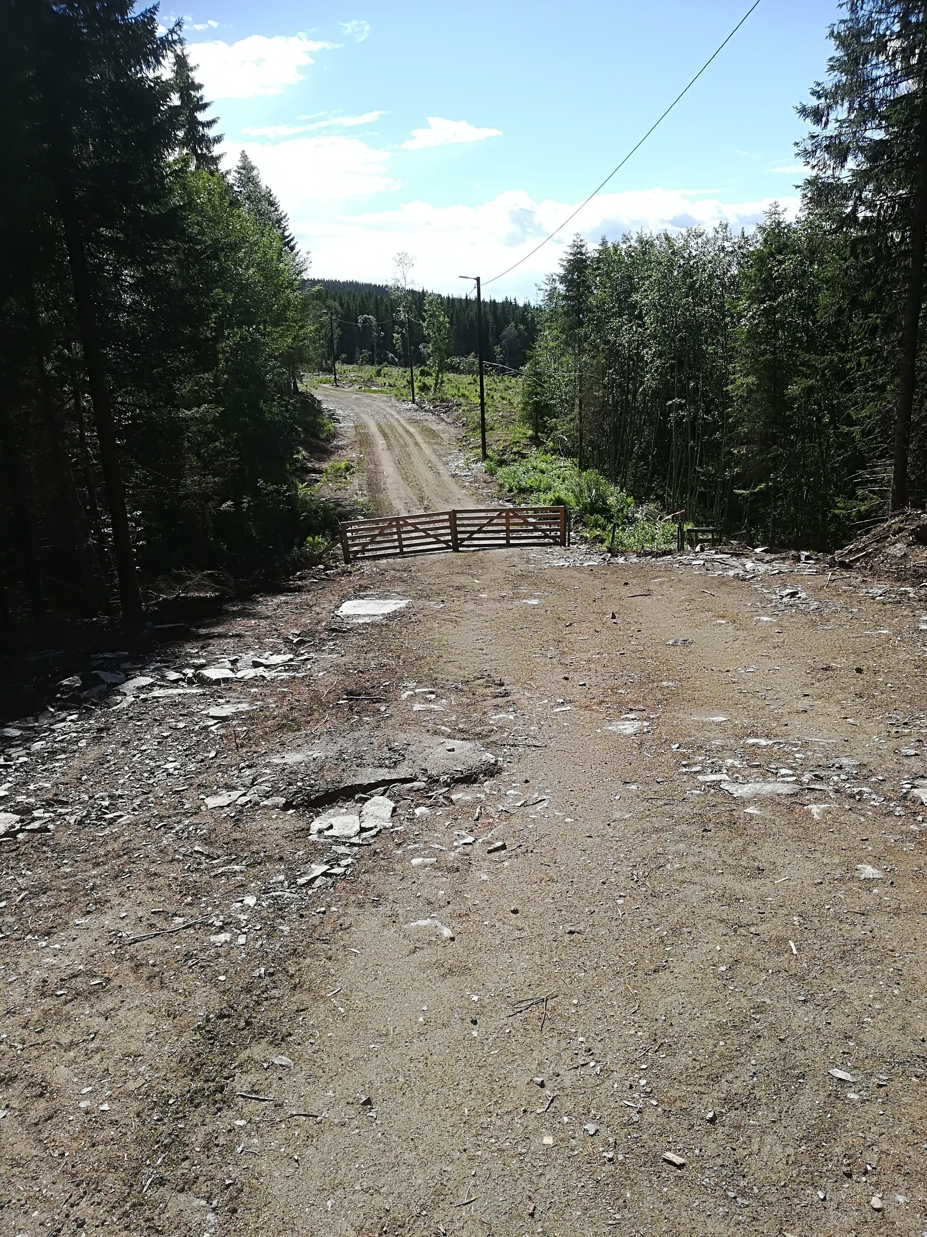
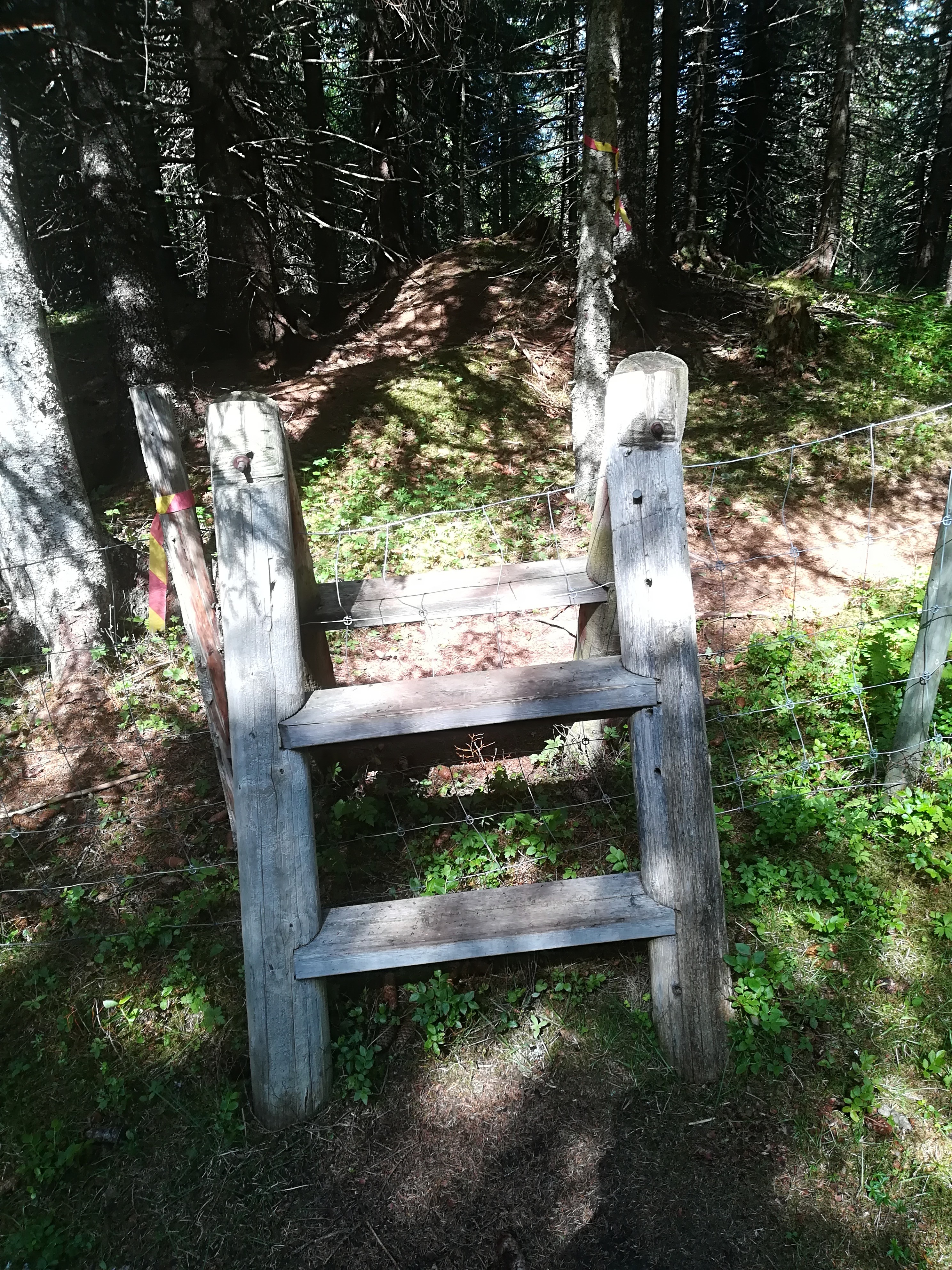
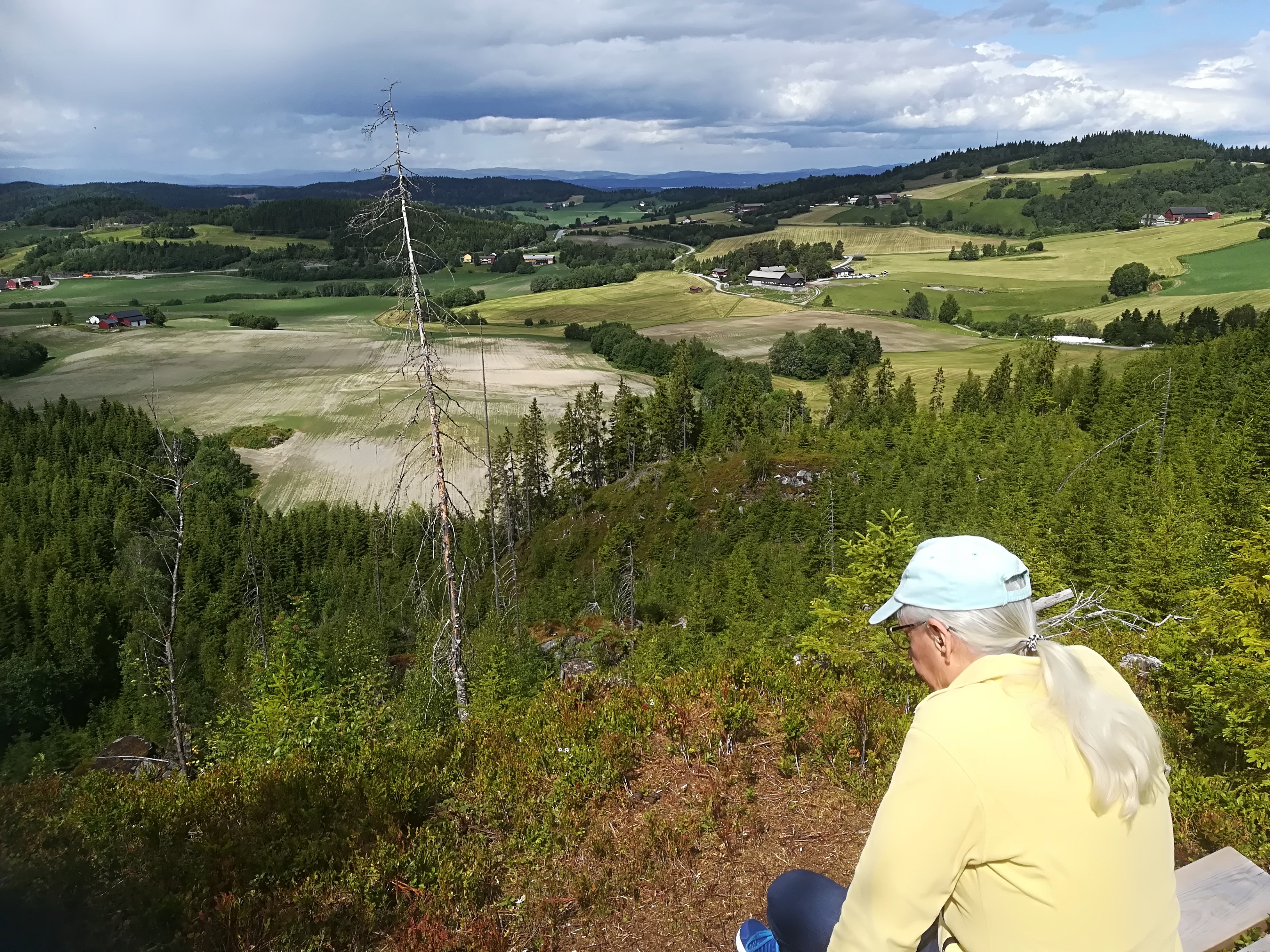
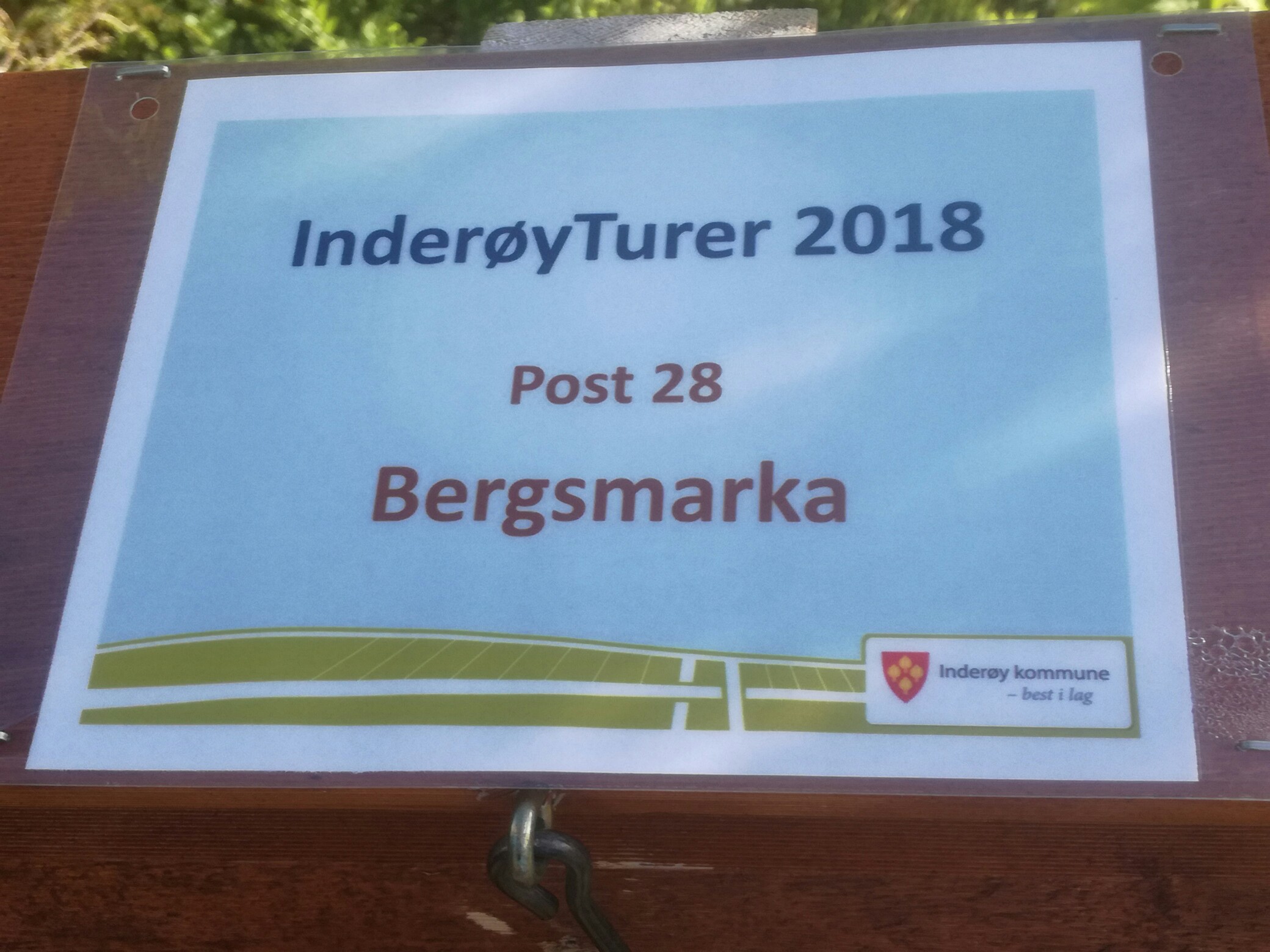
Today, we were walking to Bergsmarka. While a circular ski trail has existed here for countless years, it has been widened and improved this summer. It is jointly managed by the Sparbu and Røra sports clubs. In 1962, during the great municipal amalgamation, Sparbu became part of Steinkjer, while Røra became part of Inderøy. However, local identity remains intense, and it is common to have sports clubs that predate the amalgamations.
The walk is one of 28 this year, organized by Inderøy municipality, designed to encourage physical activity. These walks end at posts, that can be visited any time during the summer months from 21 May to 13 October. In addition, there are 8 events on specific dates during the season, with their own posts. A description of each walk is available in a printed brochure, as well as online (in Norwegian, but fun to look at): http://www.inderoy.kommune.no/getfile.php/4161916.1220.wb7n7kkppzntap/Inder%C3%B8ytur+hefte+2018.pdf There is also an app for the walks. Today’s walk is short (2.8 km forward and back), but has medium demands.
The Outdoor Recreation Act of 1957 governs the use of the countryside. An English translation of this act can be found here: https://www.regjeringen.no/en/dokumenter/outdoor-recreation-act/id172932/ The purpose of the act is:
to protect the natural basis for outdoor recreation and to safeguard the public right of access to and passage through the countryside and the right to spend time there, etc, so that opportunities for outdoor recreation as a leisure activity that is healthy, environmentally sound and gives a sense of well-being are maintained and promoted. (Article 1)