All of the Charm posts on this weblog are meant to be fun. Today’s post is no exception, and details the 27th (Skarnsund) Bridge Run from Vangshylla (where we live) to Mosvik, about 6 km away, on Sunday 2018-06-17, starting at 10:00.
When we first moved here in 1988, Vangshylla was a ferry terminal that connected Inderøy to the neighbouring municipality of Mosvik. The ferry was replaced by Skarnsund Bridge on 1991-12-17, when it was opened by King Harald. Skarnsund Bridge is the only bridge crossing of Trondheim Fjord. For further information see: https://en.wikipedia.org/wiki/Skarnsund_Bridge
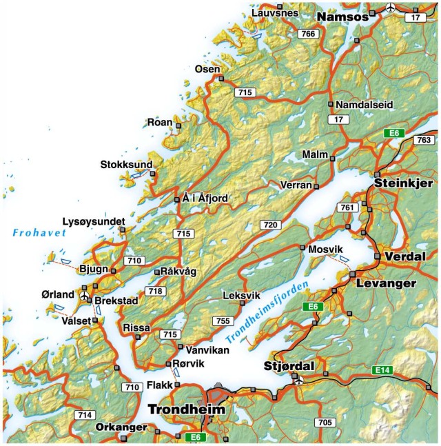
Trondheim Fjord and the Fosen Peninsula. Near the centre of the map lengthwise, you will find Mosvik marked on the map, on highway 755. It is about five kilometers west of Skarnsund Bridge, the only bridge crossing of the fjord. Vangshylla is on the eastern side of the fjord. The two dots on the highway between Mosvik and Verdal are Straumen and Røra, respectively. (CC BY-SA 2.5 Ørland, Fosenportalen)
Run officials have a spreadsheet detailing all participants, past and present, and can with certainty tell anyone which walks/ runs they have participated in. Readers may notice a dual personality tendency in the writing of this post. While most participants walk starting at 10:00 in the morning, there is also a more elite group that runs across the bridge, starting at 13:00 in the afternoon.
Our neighbour, Astrid Stømberg, is one of few who has completed all 27 walks/ runs. Trish usually walks with her, while my responsibility is to drive to Mosvik, and to pick the two of them up. A free bus ride is also available, but only at the end of the day.
Because of privacy concerns, we have not included pictures of people. All photos by Trish McLellan.
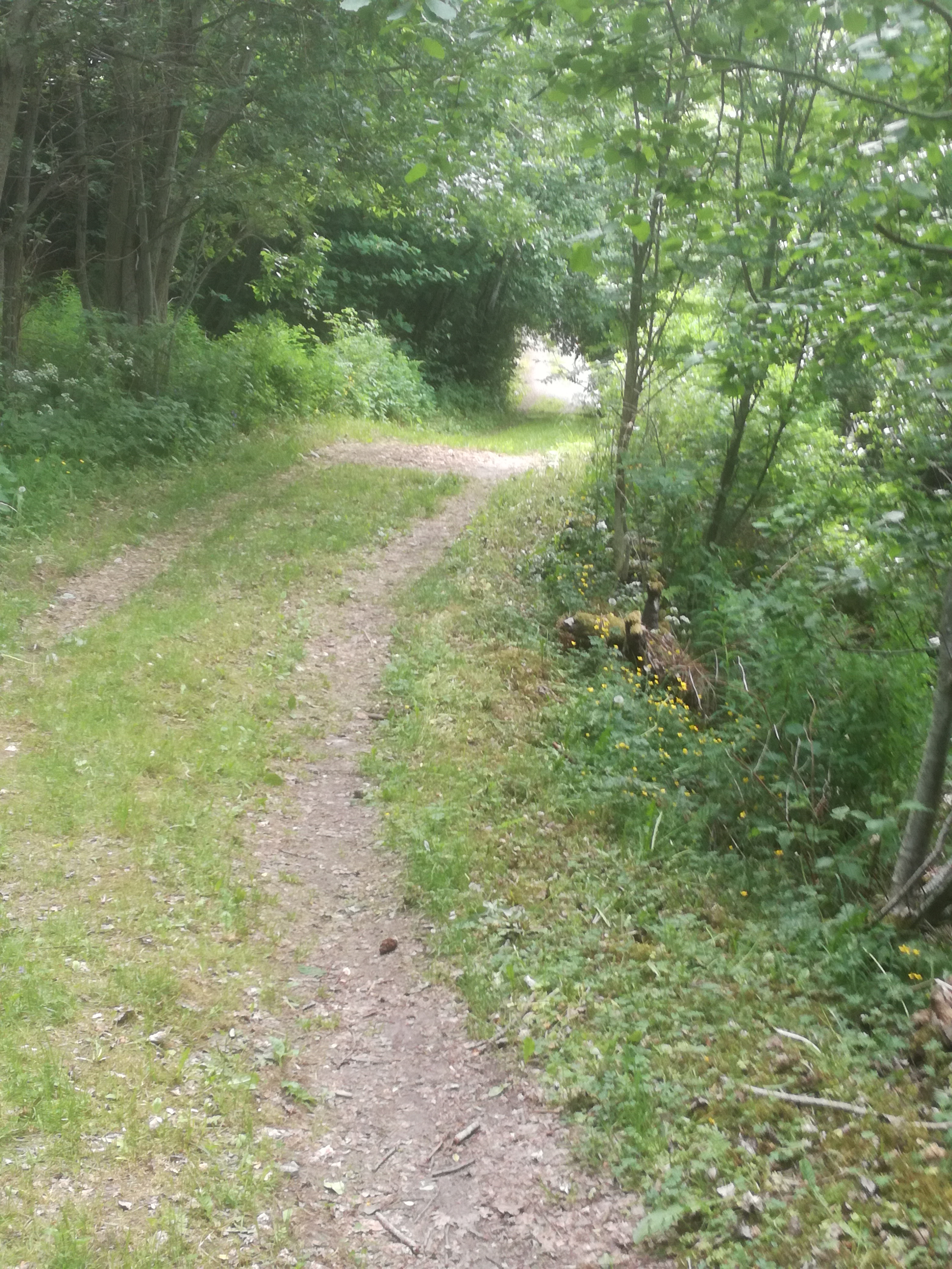
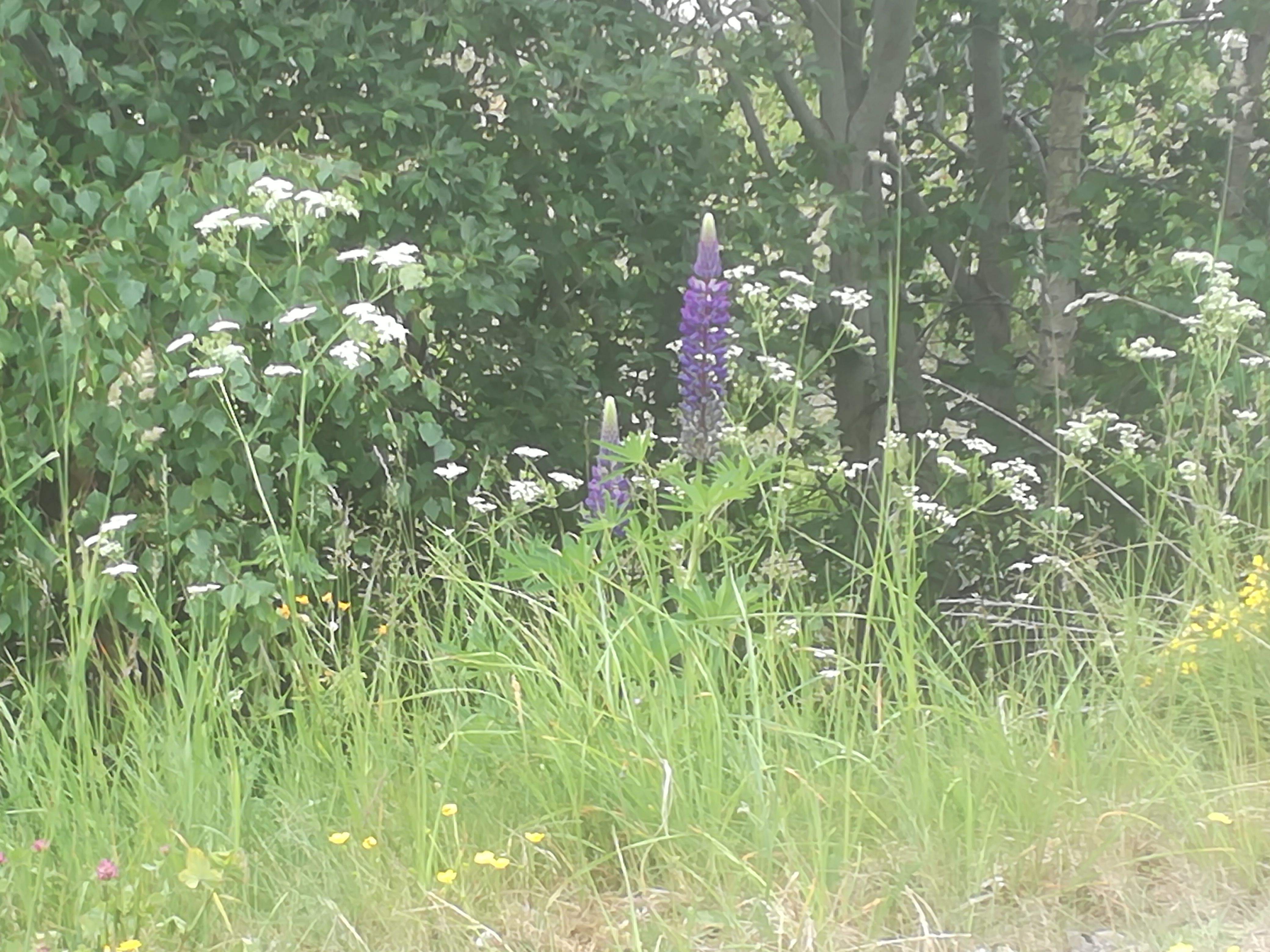
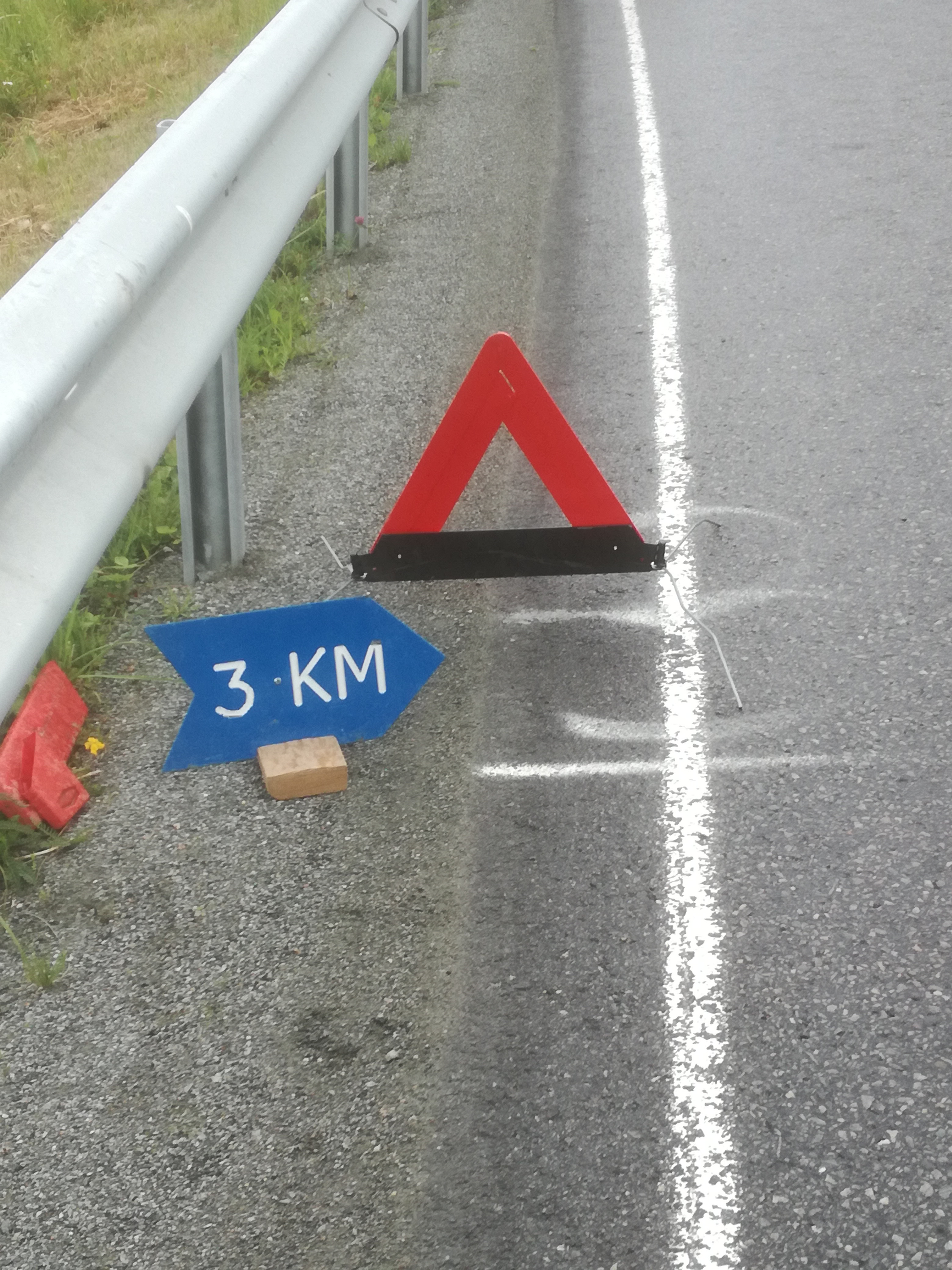
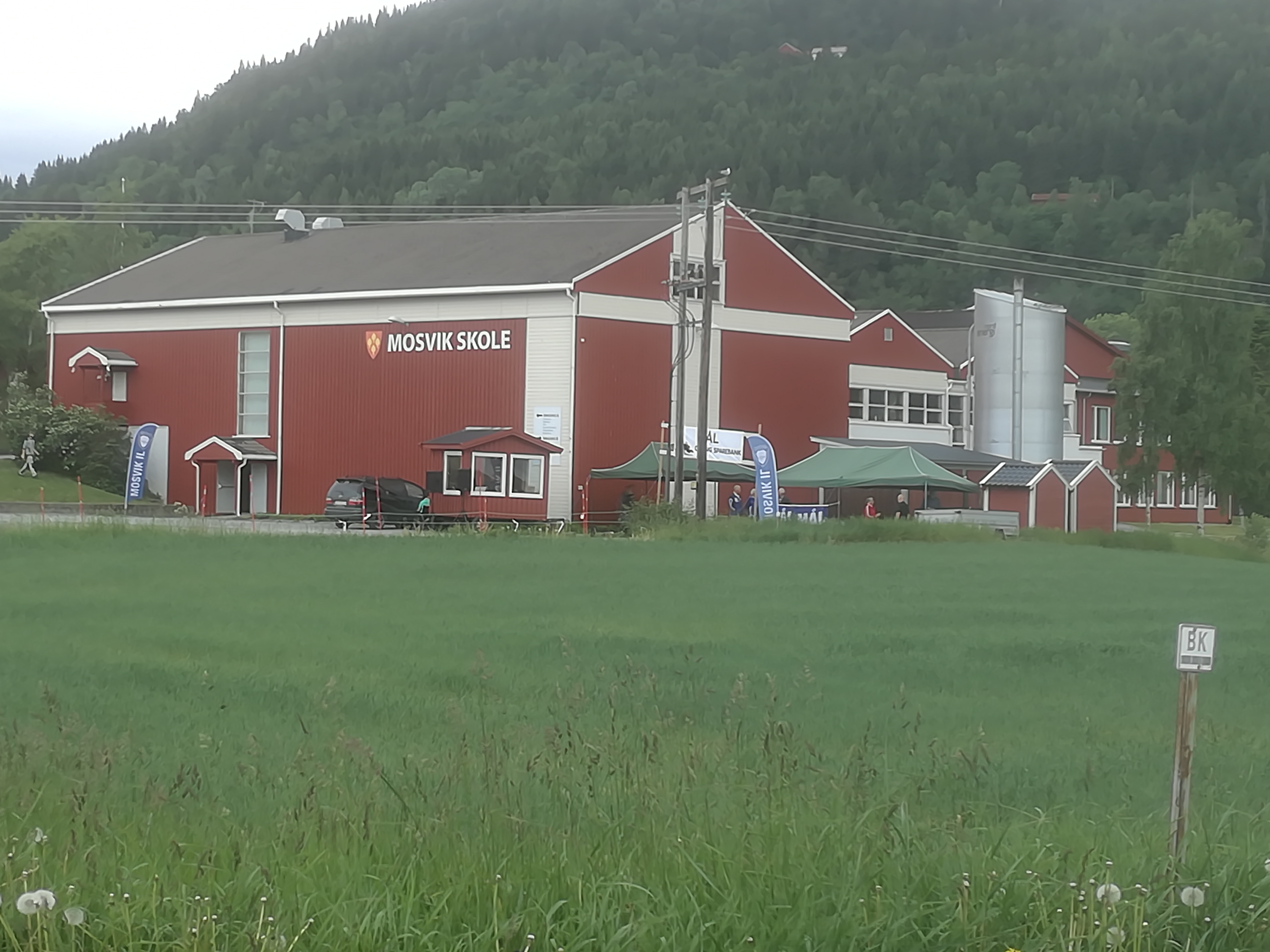
The former ferry terminal at Vangshylla, the start of the walk/ run.Skarnsund Bridge, taken from the former ferry terminal at Vangshylla.Some of the walk takes place along tractor paths through a forest.Most of the walk is along Highway 755.Along the way, 12 questions were asked. Here is one of them: In which country is this photo taken? 1. Greece X. Turkey 2. Italy.There can be illegal aliens hiding in the tall vegetation. In this case, a black-listed plant, the lupin.The half-way point.Here, a fisher is more concerned about catching a tasty dinner, than worrying about walkers.End of the walk, at Mosvik school.
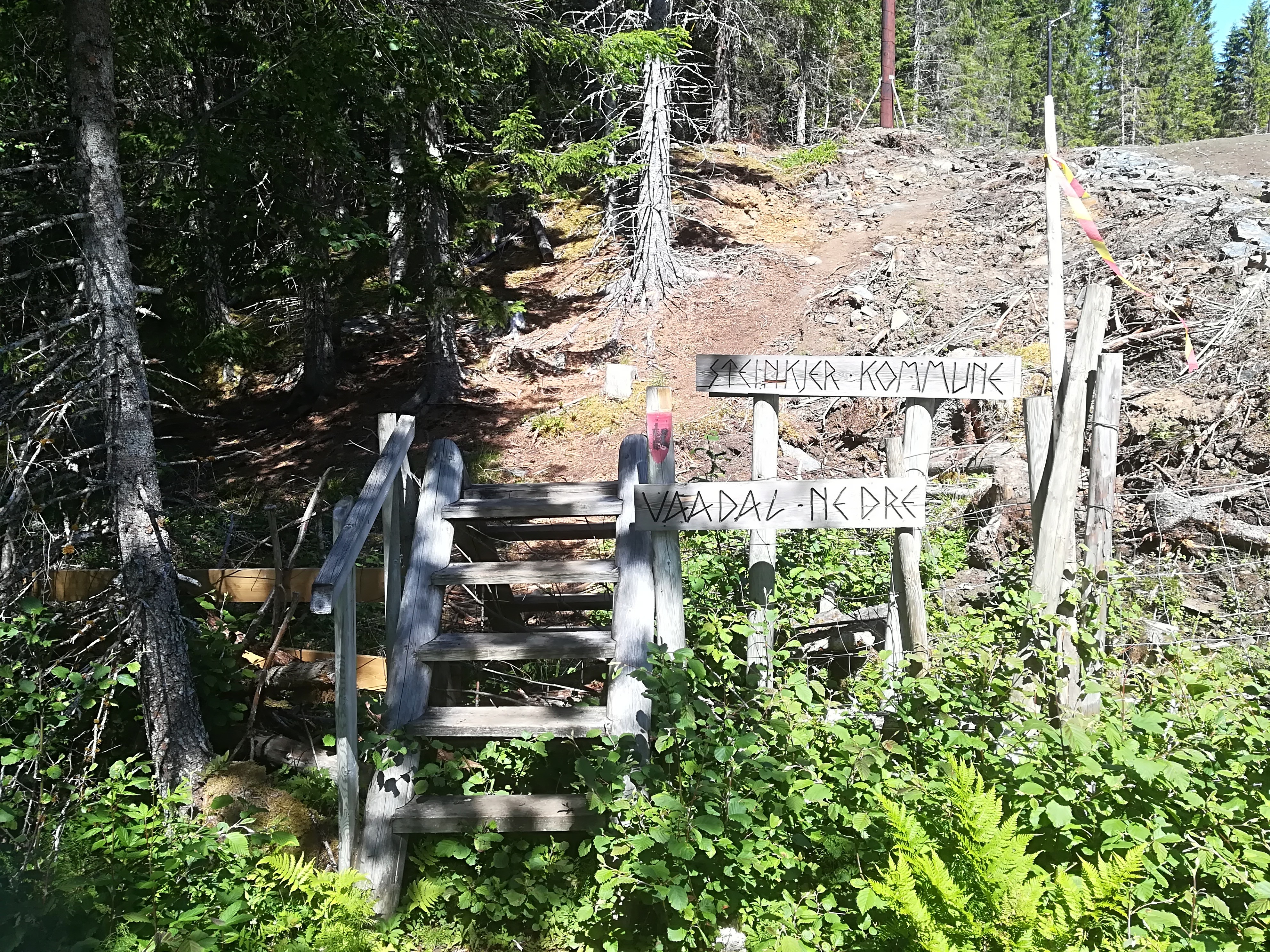
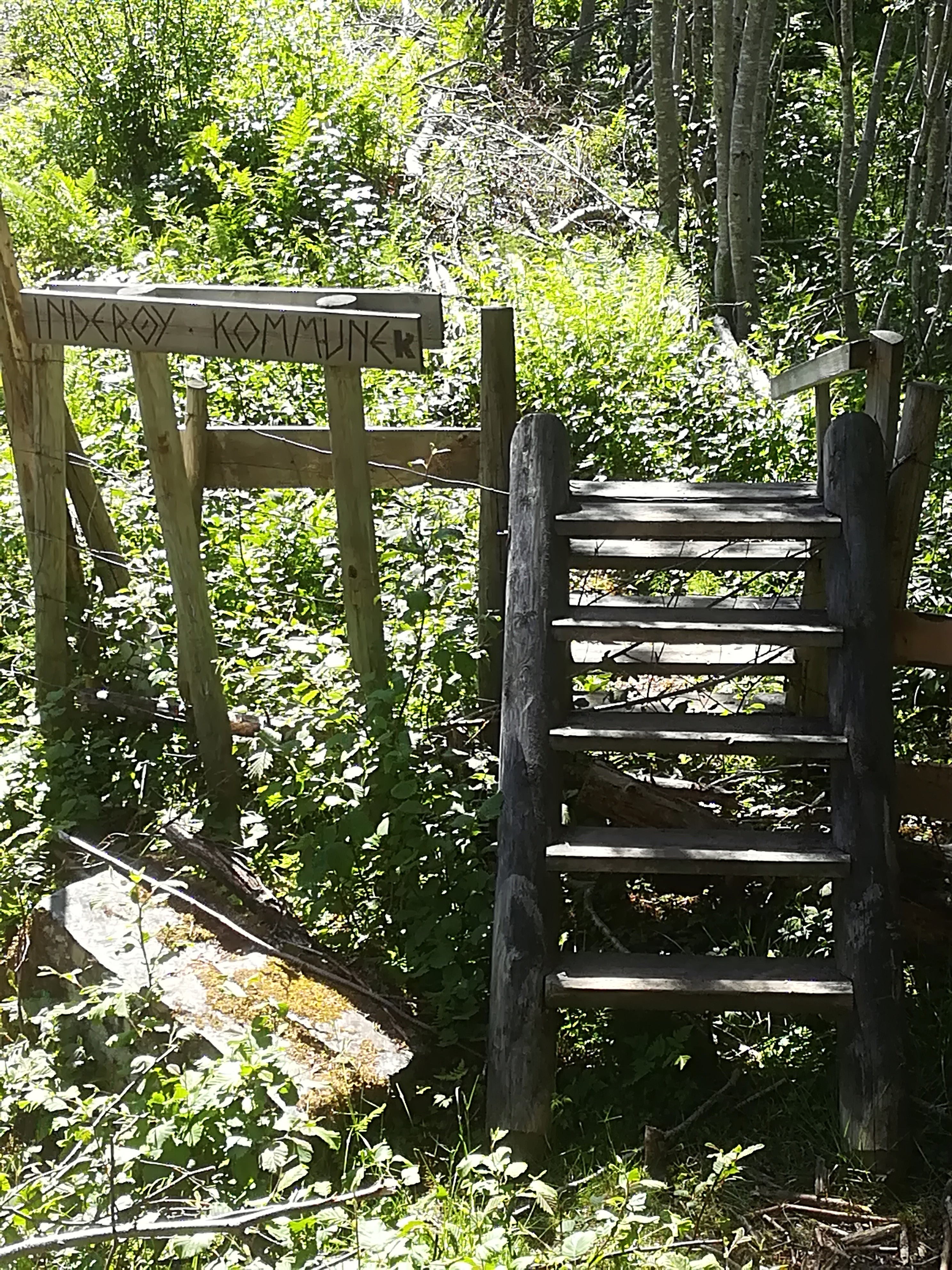
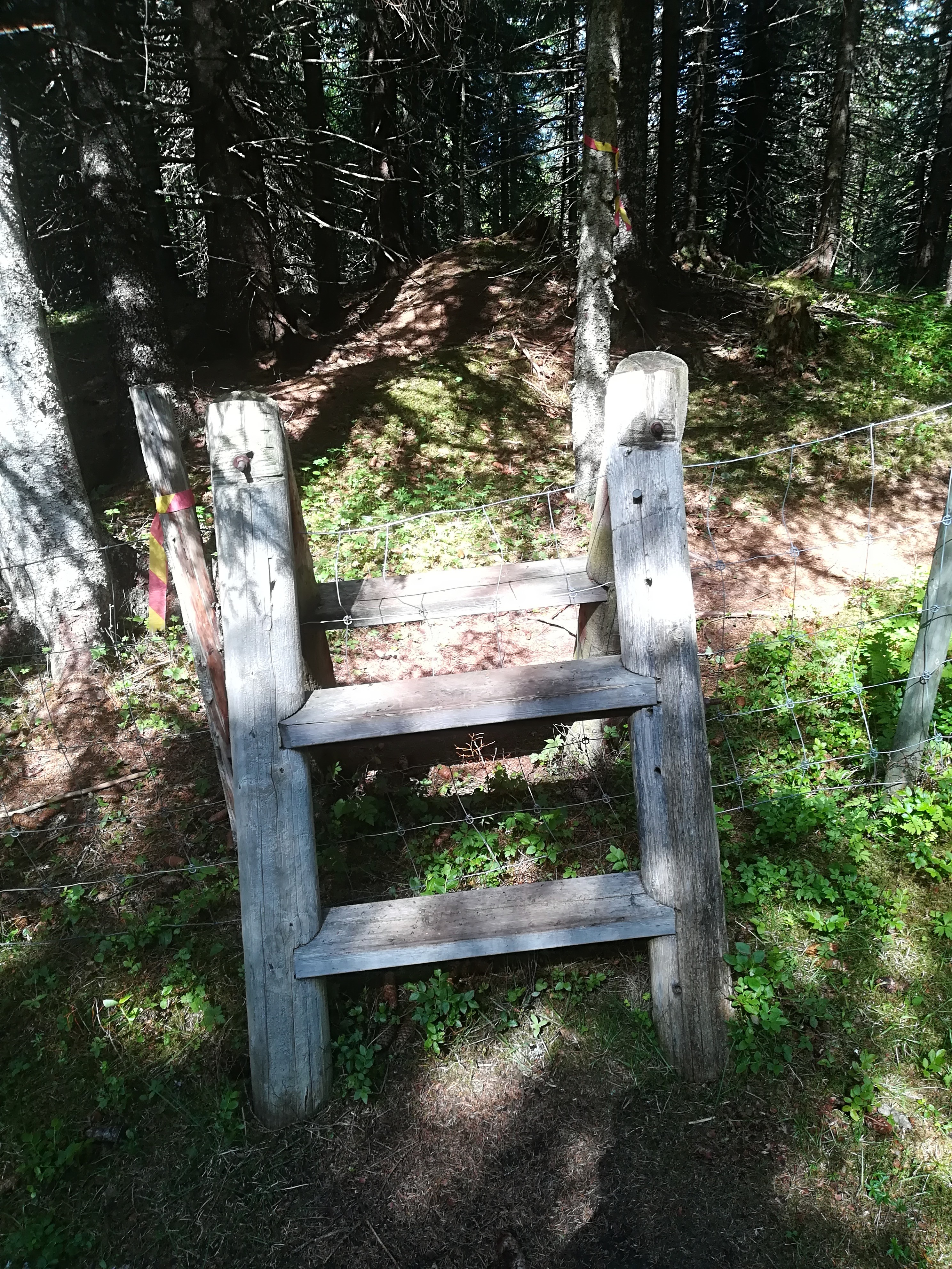
Today, we crossed the border between Inderøy and Steinkjer six times, twice driving and four times walking. We live in Inderøy municipality (population 6 800, area 366 square kilometers), part of Trøndelag county, in central Norway. Steinkjer municipality (population 22 000, area 1 565 square kilometers) is the capital of Trøndelag county, contains the geographical centre of Norway, and is located immediately to the north of Inderøy, except when it isn’t because the border is complex and follows boundaries between many different farms.
Today, we were walking to Bergsmarka. While a circular ski trail has existed here for countless years, it has been widened and improved this summer. It is jointly managed by the Sparbu and Røra sports clubs. In 1962, during the great municipal amalgamation, Sparbu became part of Steinkjer, while Røra became part of Inderøy. However, local identity remains intense, and it is common to have sports clubs that predate the amalgamations.
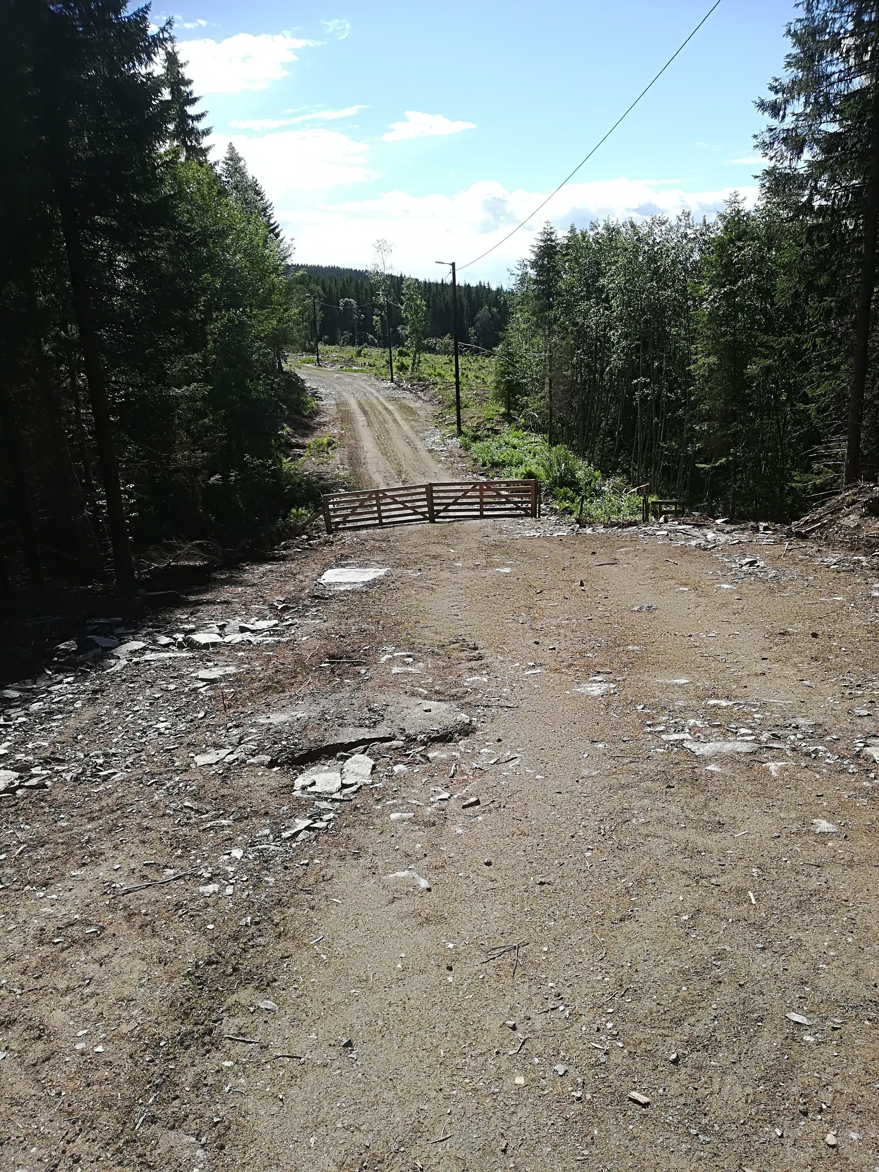
The walk is one of 28 this year, organized by Inderøy municipality, designed to encourage physical activity. These walks end at posts, that can be visited any time during the summer months from 21 May to 13 October. In addition, there are 8 events on specific dates during the season, with their own posts. A description of each walk is available in a printed brochure, as well as online (in Norwegian, but fun to look at): http://www.inderoy.kommune.no/getfile.php/4161916.1220.wb7n7kkppzntap/Inder%C3%B8ytur+hefte+2018.pdf There is also an app for the walks. Today’s walk is short (2.8 km forward and back), but has medium demands.
The Outdoor Recreation Act of 1957 governs the use of the countryside. An English translation of this act can be found here: https://www.regjeringen.no/en/dokumenter/outdoor-recreation-act/id172932/ The purpose of the act is:
to protect the natural basis for outdoor recreation and to safeguard the public right of access to and passage through the countryside and the right to spend time there, etc, so that opportunities for outdoor recreation as a leisure activity that is healthy, environmentally sound and gives a sense of well-being are maintained and promoted. (Article 1)
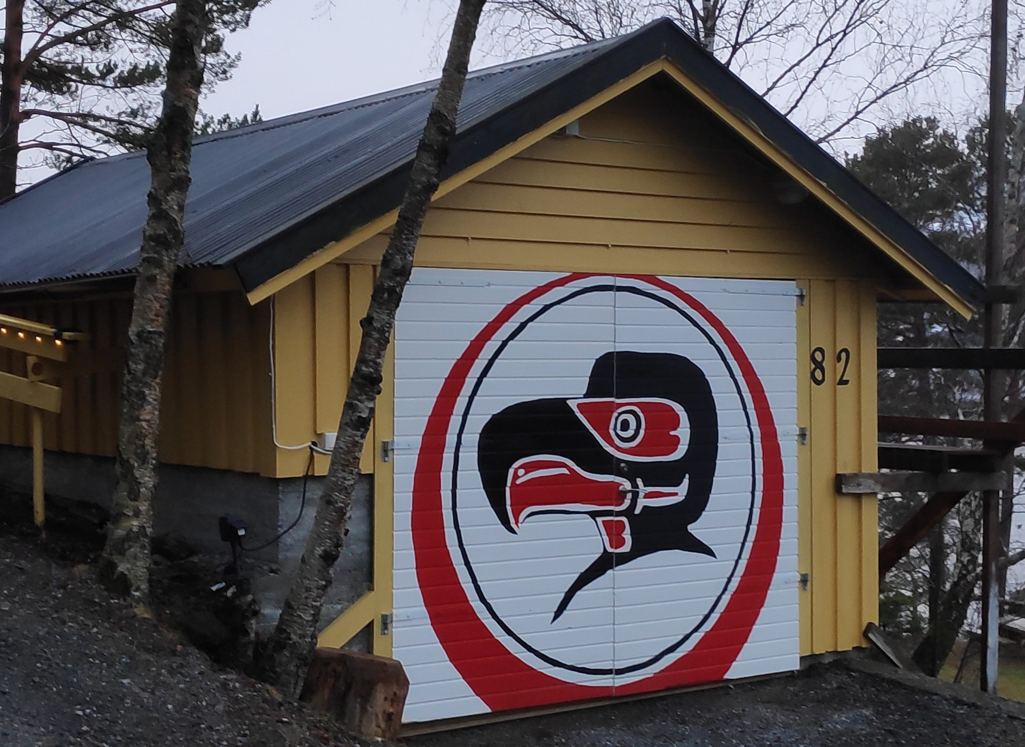
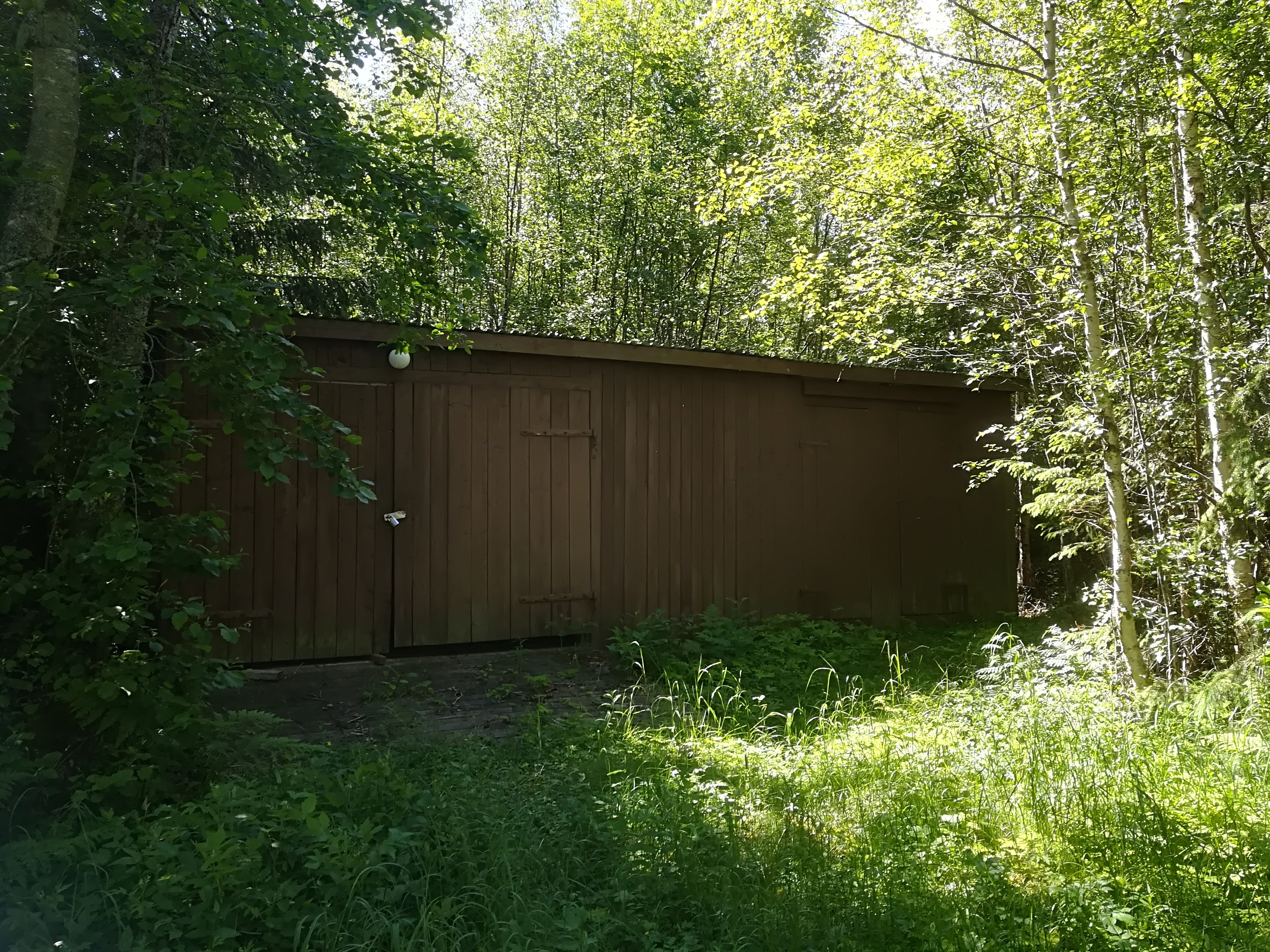
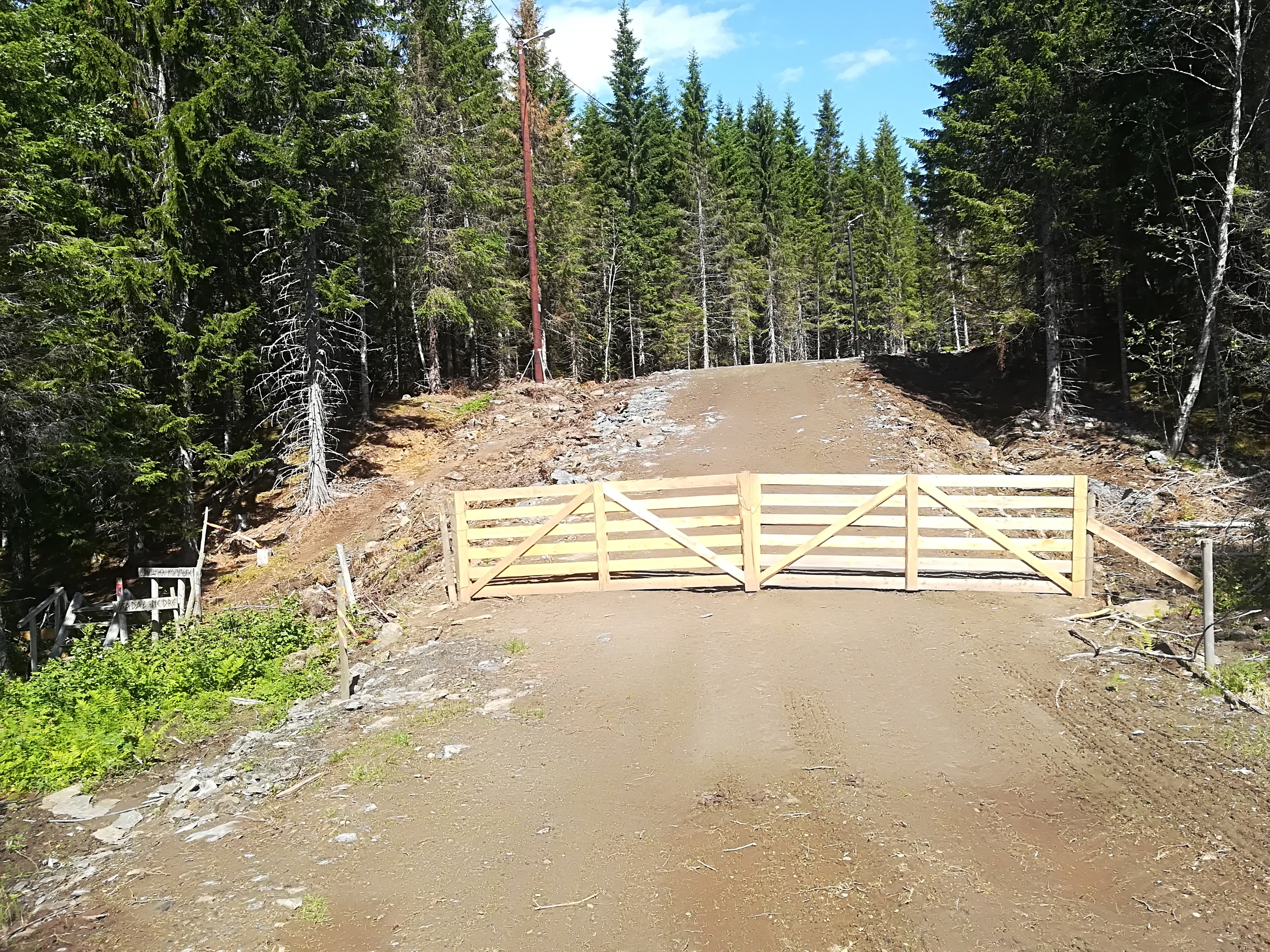
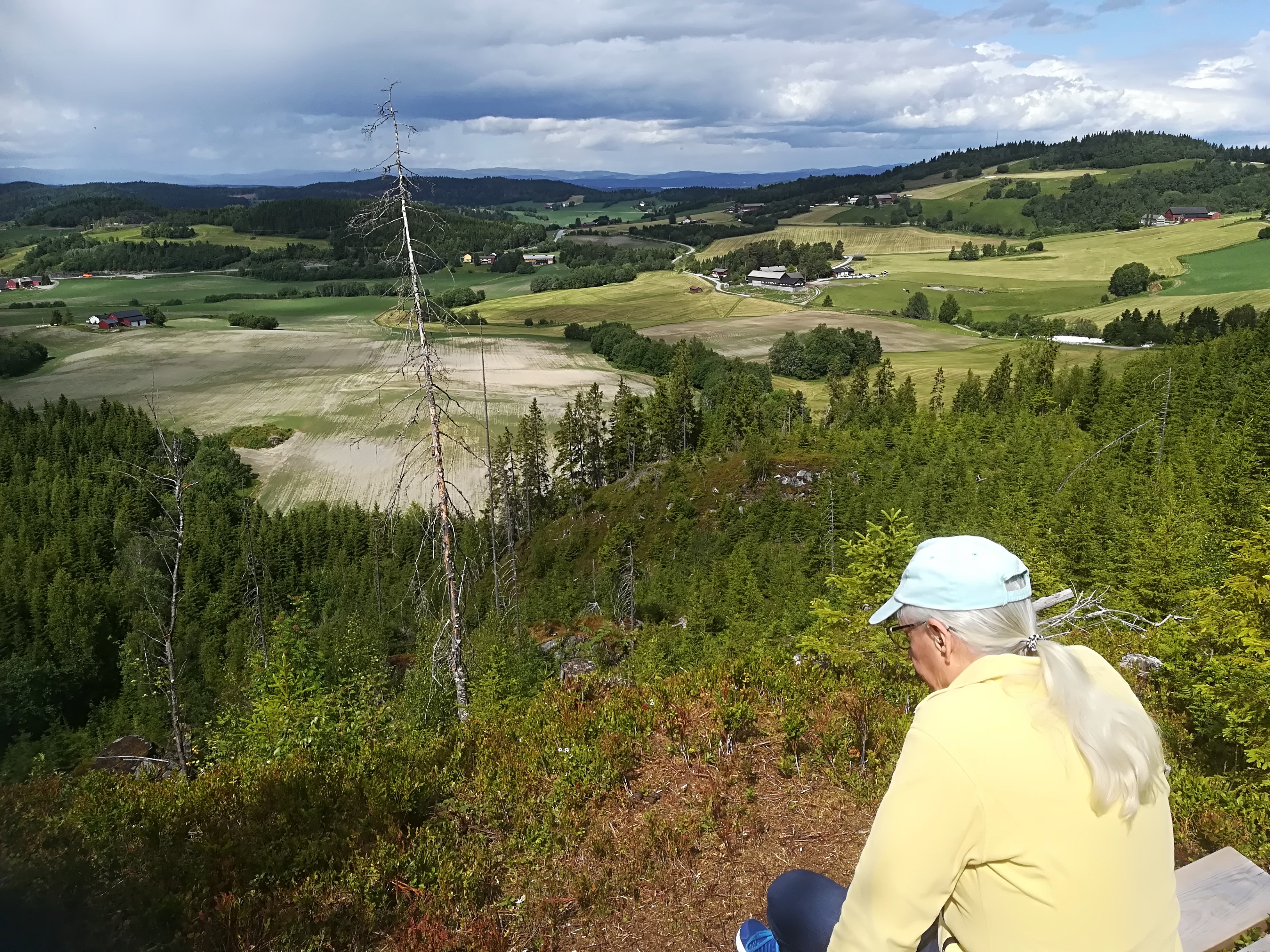
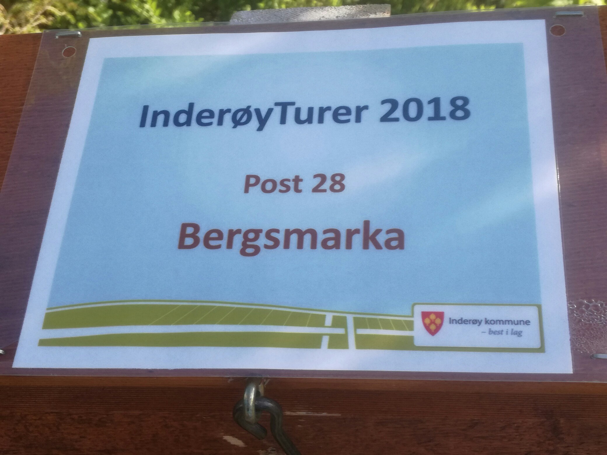
Equipment storage for the ski trail.Warming hutLooking North from Inderøy into Steinkjer. The circular ski trail is closed off in the summer to allow for grazing animals.This is where we climb from one municipality into the next. Taken in Inderøy, with Steinkjer on the far side.The border with Inderøy, taken from Steinkjer. Kommune is the Norwegian term for municipality.The border from Steinkjer, looking south into Inderøy.Yet another border between Inderøy and Steinkjer, several hundred meters from the first. Taken from Inderøy, looking across to Steinkjer. Note the trail marking, indicating that this is part of an Inderøy walk.The goal of today’s walk, with a view of Steinkjer to the right of the photo. There is an unprotected cliff a few meters from the bench Trish is sitting on.This sign indicates that we have arrived at Bergsmarka. Inside the box is a book for us to date and sign. We were the 885th and 886th people to sign the book this year. In addition you can see Skarnsund Bridge as the motif for the layout. Our house is about 500 meters from the bridge. In addition, the Inderøy Coat of Arms was granted on 5 October 1984. The arms show four European plaice on a red background. This fish was once plentiful and was one of the main sources of income for the area until around 1940. The municipal motto, best i lag, means best together, dates from the municipality’s amalgamation with Mosvik in 2012.