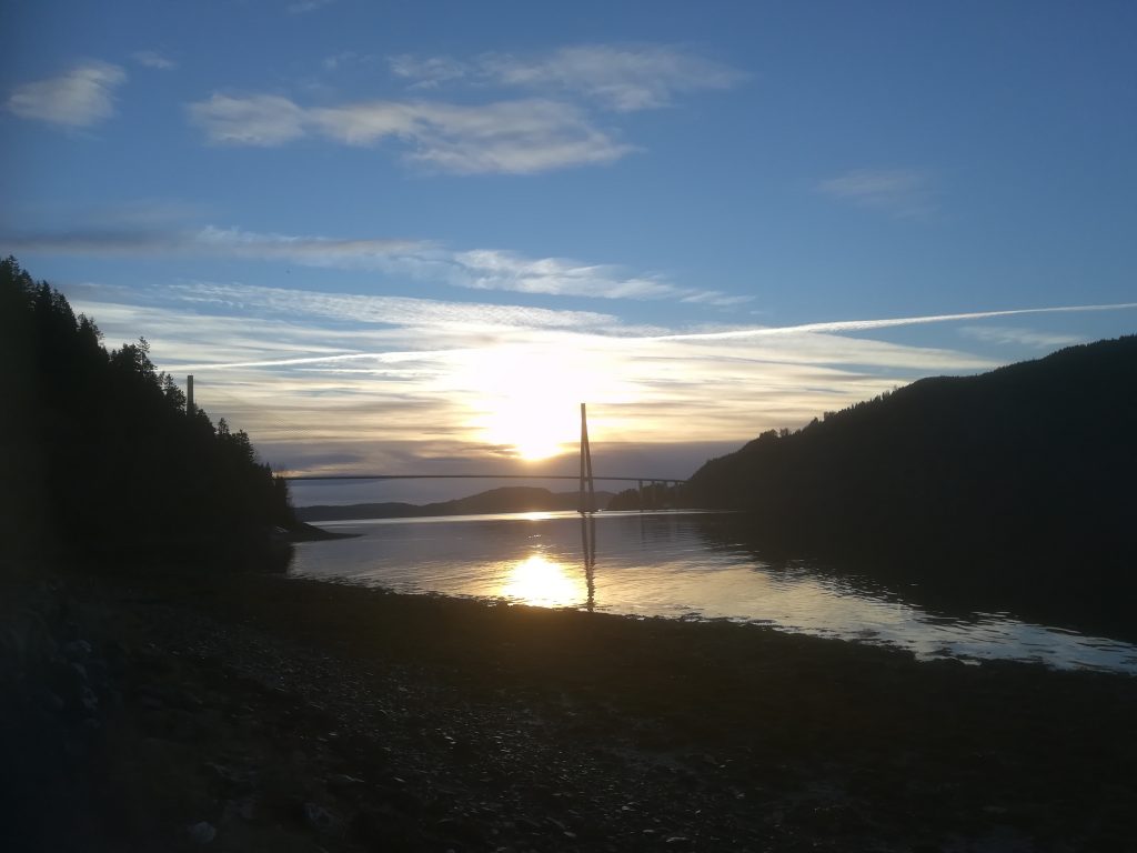
Skarnsund is a Norwegian strait connecting the Beitstadfjorden with the outer section of the Trondheimsfjorden. It is 5-kilometres long and 0.5-kilometres wide, located in its entirety in the municipality of Inderøy. It is most noted its strong tidal current and maelstrom. Recreationally, it is world-famous in Norway, for its fishing and scuba diving.
[osm_map_v3 map_center=”63.8471,11.0707″ zoom=”14″ width=”100%” height=”450″ post_markers=”all”]
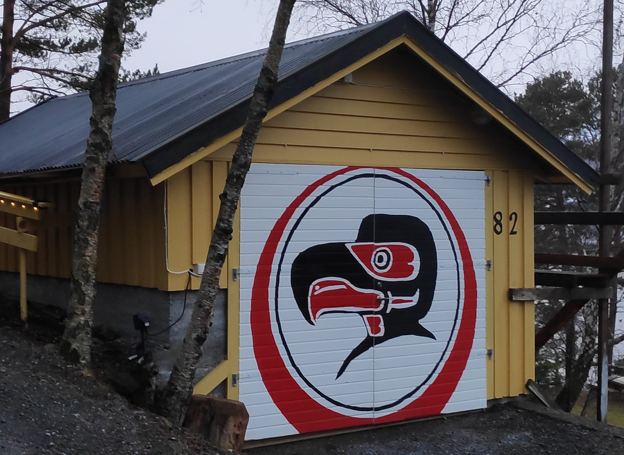
The beach is located in the small beige area near the top right side of the map on Skarnsund. Cliff Cottage is located towards the bottom (perhaps 1/5 of the way up) on the right side of the map just where the road to Vangshylla bends to the right. Our driveway is also featured on the map at this point.
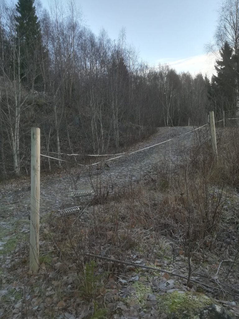
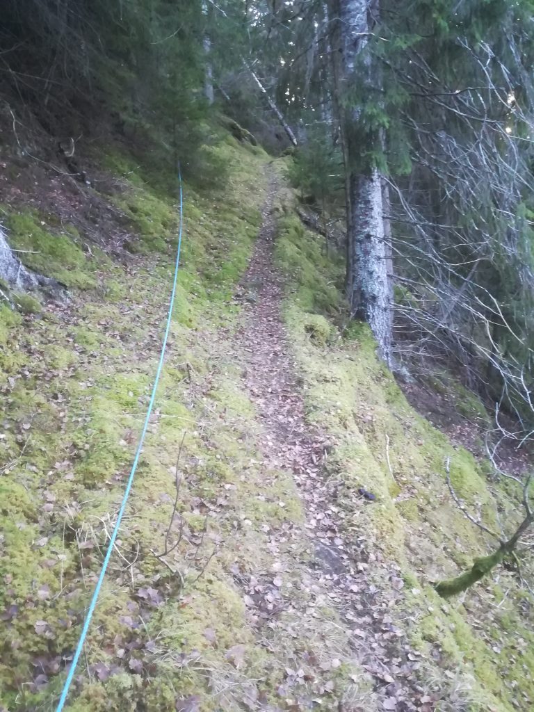
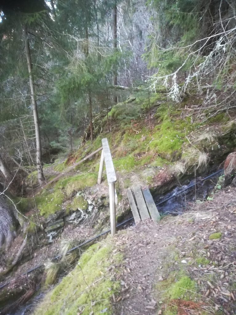
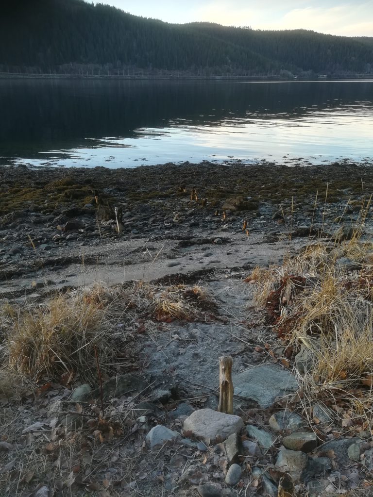
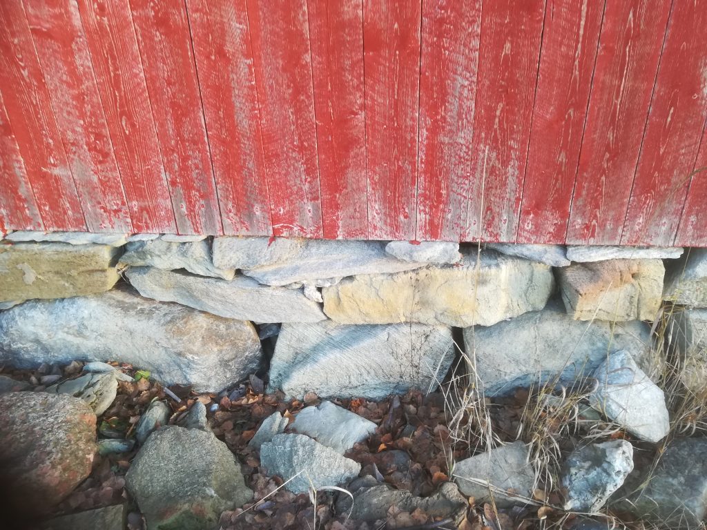
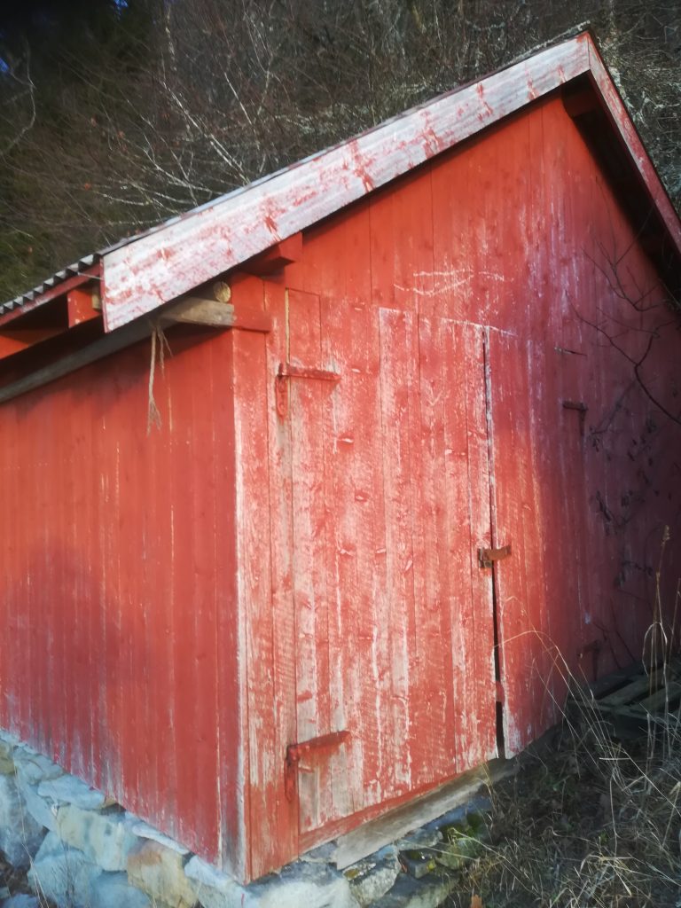
Today’s walk took us to a beach on the eastern shore of Skarnsund, about three kilometers walking from our house. There are three cottages at this beach front location. If supplies are to be brought in, the only practical way is by boat. The walk is far too steep and narrow to be of much use. With temperatures just below zero, it was cold enough for any mud on the pathway to freeze, which actually improved the grip, compared to mud that can be experienced when the temperature is above zero.